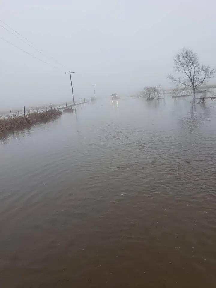
…Multiple Rounds of Heavy Rain Tonight through Tuesday Night…
.Thunderstorms are expected to develop along a cold front in
central Nebraska this evening. These storms will not be
widespread, but could produce locally excessive rainfall and
flooding, especially along and north of Interstate 80.
Then additional showers and thunderstorms will develop across
most of the area late tonight and into Tuesday morning. Off and on
rain will continue through Tuesday and Tuesday night, with the
highest coverage gradually shifting southeast.
The heaviest rain should move southeast of the area by Wednesday
morning.
…FLASH FLOOD WATCH IN EFFECT FROM THIS EVENING THROUGH
WEDNESDAY MORNING…
The National Weather Service in Hastings has issued a
* Flash Flood Watch for portions of north central Kansas and
Nebraska, including the following areas, in north central
Kansas, Jewell, Mitchell, Osborne, Phillips, Rooks, and Smith.
In Nebraska, Adams, Buffalo, Clay, Dawson, Fillmore, Franklin,
Furnas, Gosper, Greeley, Hall, Hamilton, Harlan, Howard,
Kearney, Merrick, Nance, Nuckolls, Phelps, Polk, Sherman,
Thayer, Valley, Webster, and York.
* From this evening through Wednesday morning
* Thunderstorms and multiple rounds of heavy rain could lead to
flash flooding.
* Rainfall totals of 1 to 3 inches are expected, and locally
higher amounts are possible.
PRECAUTIONARY/PREPAREDNESS ACTIONS…
A Flash Flood Watch means that conditions may develop that lead
to flash flooding. Flash flooding is a VERY DANGEROUS SITUATION.
You should monitor later forecasts and be prepared to take action
should Flash Flood Warnings be issued.


